February 18, 2026
A fence feels simple until you're staring at a canal, a drainage swale, and three different "lines" that all look like the edge of your yard. In Cape Coral, that's how fence projects get delayed, or worse, end up on the wrong side of a property line.
The bottom line is this: a Cape Coral property line survey helps you place a fence where it belongs, while spotting easements, right-of-way, and old encroachments before posts go in.
This article is general information, not legal advice. For your exact lot, talk with a Florida-licensed surveyor and confirm requirements with the City of Cape Coral, Lee County (if applicable), and your HOA.
Start with the right survey (and know what the City wants)
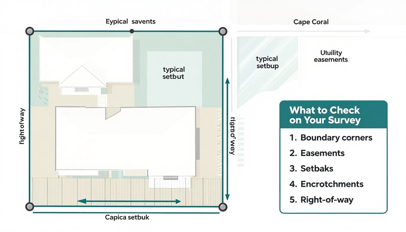 Diagram of a typical Cape Coral lot survey showing boundaries, easements, swales, and right-of-way (created with AI).
Not every "survey" is the same. Some documents show a lot line, but don't give enough detail to place a fence with confidence. Before you plan gate locations or buy materials, look for a signed and sealed boundary survey (or a survey that clearly marks property corners, bearings, distances, and easements).
Cape Coral's permit process often asks for your most recent survey if you have one. The City also wants clear site plans showing where the fence and gates will go. You can confirm current submittal expectations in the City's Residential fence permit guidelines (PDF) and pull forms from the Permit Document Center.
Here's a quick way to think about common documents homeowners mix up:
| Document you have | Good for | What can go wrong for fences |
|---|---|---|
| Boundary survey (signed and sealed) | Locating true property lines and corners | Older surveys may not show newer improvements or changes |
| Mortgage/loan survey or sketch | Lender paperwork, rough reference | Often not detailed enough for fence placement |
| Plat map (subdivision plat) | General lot shape and dimensions | Doesn't mark your exact corner monuments on the ground |
| "As-built" or site plan from a contractor | Showing a project layout | Might be based on assumptions, not verified boundaries |
If your survey is old, torn, or missing corner calls, don't guess. A new or updated survey can cost less than moving a fence later.
Read your survey like a fence plan (corners, easements, and the street)
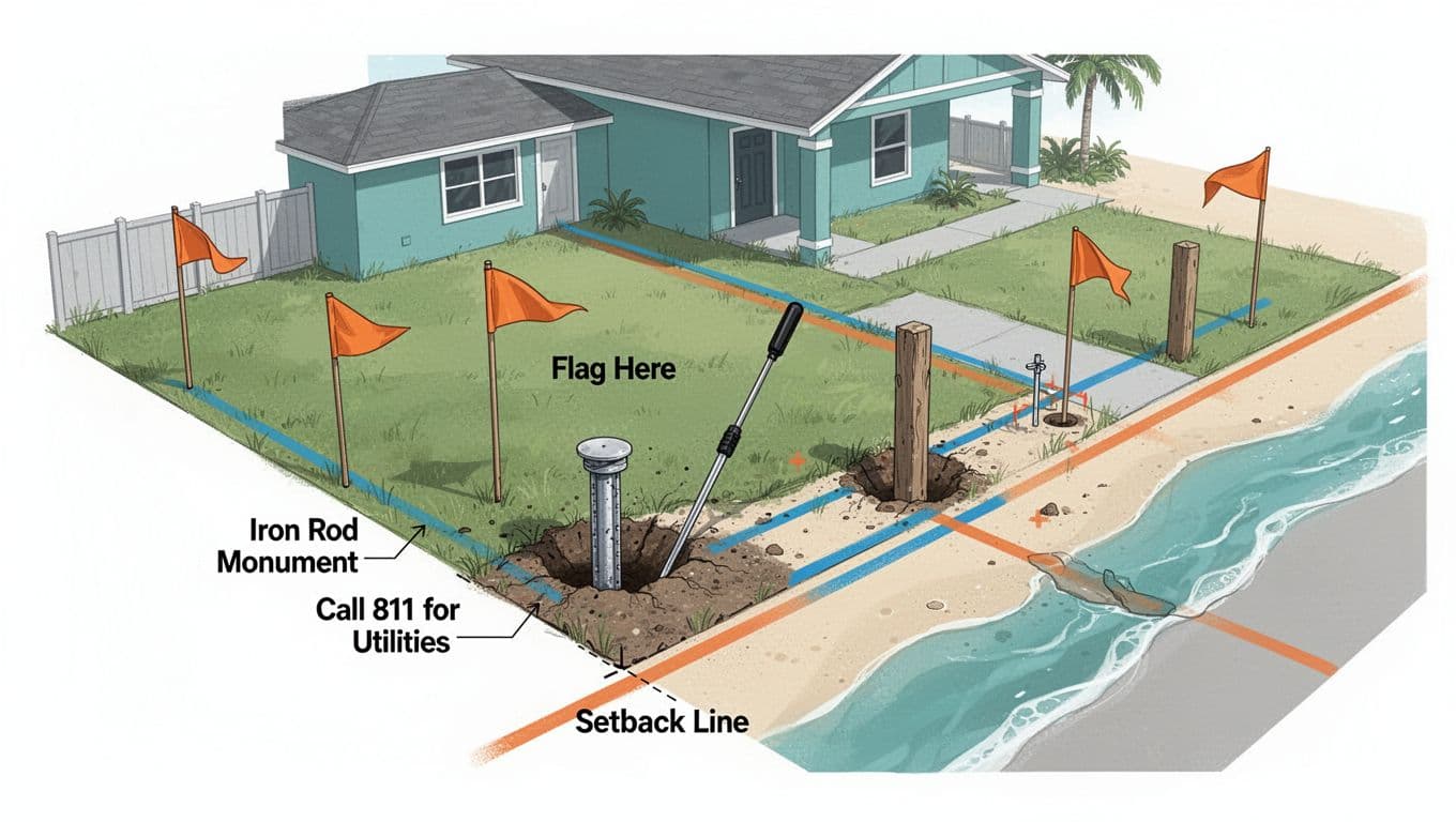 Diagram showing monument locating, flagging, and utility marks before digging (created with AI).
A survey is basically a set of instructions for where your boundaries are, plus warnings about areas you might not "own to use." When you're planning a fence in Cape Coral, focus on the parts that affect where posts can go.
Corner monuments (your fence starts here)
Look for notes like iron rod, rebar, iron pipe, or "found" and "set." Those are the corner markers surveyors reference. If your fence installer can't tie the layout to corners, the layout turns into a best guess.
If you can't find a monument, don't replace it yourself. Let a Florida-licensed surveyor handle missing corners or re-setting markers.
Easements, utility corridors, and drainage paths
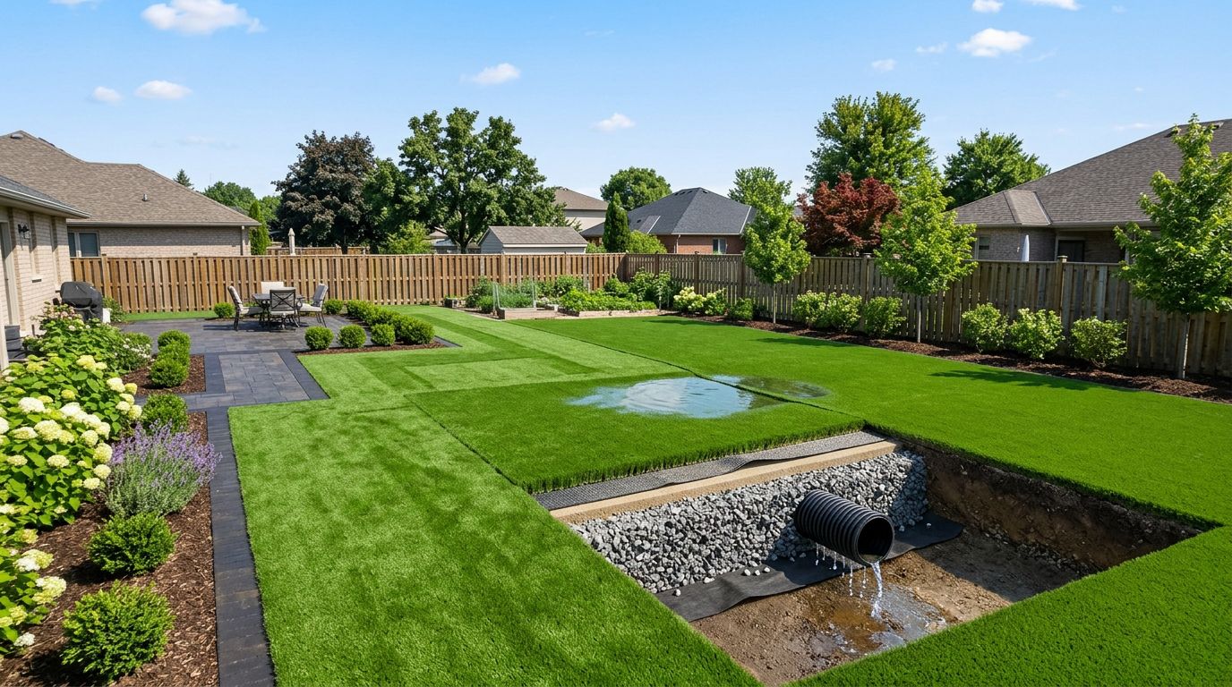
Many Cape Coral lots have utility easements along sides or rear, plus drainage features that move stormwater. A fence can sometimes cross an easement, but that doesn't mean it's safe to build there. Utility work can require access, and you could be responsible for removing sections later.
For background on how the City discusses easements and responsibilities in its code, see the Cape Coral Land Development Code (online).
If your survey shows an easement, treat it like a reserved lane. You might be allowed to build near it, but you can't block the purpose.
Right-of-way at the street (the line isn't always the curb)
A common surprise is the street right-of-way. Your "yard" can extend into an area the City controls for roads, sidewalks, and utilities. If your fence crosses into right-of-way, you can get a correction notice, even if it looks like your grass.
Also, corner lots act like they have two front yards. That's where visibility and placement issues pop up fast. If you're designing a fence for a corner lot, it helps to review corner lot visibility and front-yard fence limits in Cape Coral so your layout matches what plan reviewers expect.
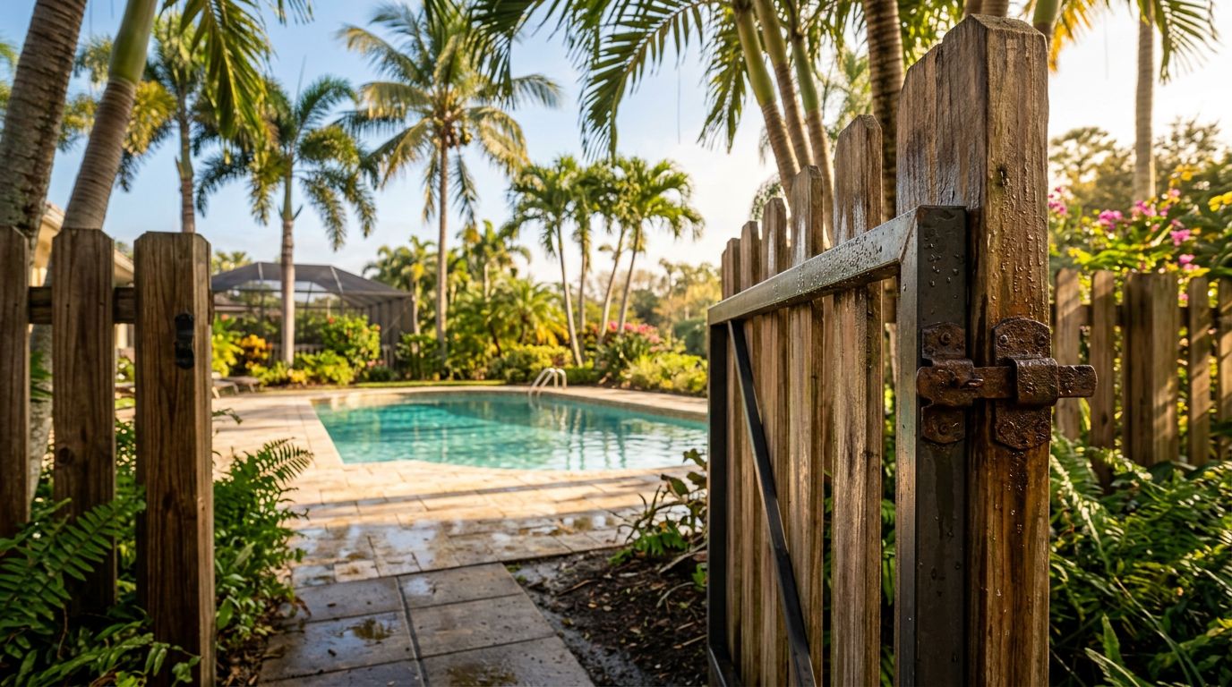
Canals, seawalls, and the "water-side" edge
Canal properties add one more layer. Your property line might not be the seawall face, and the survey may show offsets, utility areas, or notes tied to the canal. Don't assume a fence "on the seawall" is on your line. Always reference the boundary calls and any canal notes on the survey, then confirm the current fence rules for water-adjacent lots during permitting.
Field-check the property line before posts get dug
Even a perfect survey won't help if nobody verifies corners on the ground. A simple pre-check prevents most boundary headaches, especially on lots with buried markers, thick landscaping, or older fences that drifted over time.
A practical pre-check process (works for most Cape Coral yards)
- Walk the perimeter with the survey in hand. Match each corner call to where you think it is, then slow down.
- Find and flag monuments. A thin probe, careful hand digging, or a metal detector can help, but avoid damaging the marker.
- Take photos of each corner. Include a wide shot and a close-up, so you can prove what you found later.
- Mark the proposed fence line with string. Keep it inside the line until you confirm setbacks, easements, and right-of-way.
- Get utility locates before digging. Don't assume utilities follow the same path as your neighbor's.
- Talk with neighbors early. If a fence will run close to a shared line, agree on the line location before holes are dug.
- Stop if corners are missing. If you can't verify corners, schedule a surveyor to mark the line.
What to do when corners are missing or "don't match"
In Cape Coral, it's common to find a corner buried, paved over, or disturbed by past work. If two corners are missing, or the line seems off, pause the project. A fence placed from one guessed point can drift inches, then feet, over a long run.
Also, don't rely on an existing fence as proof of a boundary. Lots of older fences were placed for convenience, not accuracy.
Printable checklist: what to check on your survey before a fence
Print this, then keep it with your permit packet.
- Corner monuments shown and found (or clearly marked by a surveyor)
- Property lines labeled with bearings and distances
- Easements labeled (utility, drainage, access), including widths
- Right-of-way identified along street frontage and corner lot side street
- Encroachments noted (neighbor fences, sheds, seawall features, driveways)
- Canal and seawall notes reviewed if your yard backs to water
- Swales and drainage paths identified so the fence won't block flow
- Fence layout drawn with gate locations and measurements for each run
- HOA rules checked if you have an ARC process (surveys often speed approvals)
- Photos taken of corners, fence run areas, and any conflicts
If your neighborhood has an HOA, approvals often depend on clean documents. This guide on Cape Coral HOA fence rules and approval packets pairs well with your survey review, because many delays come from missing measurements or unclear lines.
Conclusion
A fence should add privacy and value, not create a boundary fight. Start with a clear Cape Coral property line survey , confirm corners on the ground, and respect easements, swales, and right-of-way. When anything looks uncertain, bring in a Florida-licensed surveyor and verify details with local permitting and your HOA. The time you spend checking now is far cheaper than moving a finished fence later.